Groundwater Disparity Between India and Pakistan
Temporal Observations and Institutional Differences
By Muhammad Junaid

Data
The dataset—titled "A century of groundwater accumulation in Pakistan and northwest India"—is a comprehensive tally of groundwater levels across Punjab, Pakistan, and Northwest India, which consists of districts Haryana and Punjab, by the British Geological Survey. The dataset is of a temporal nature, and unfortunately introduces new locations over time, with the four major Doabs being consistent in the case of Pakistan.
Doabs in Pakistan
Doab (دوآب) refers to a body of land between two water bodies, typically large rivers. Pakistan is home to four notable doabs, all situated in the province of Punjab. Besides the Sindh Sagar Doab, the rest are portmanteaus using their adjoining rivers e.g. Chaj = Chanab + Jhelum.
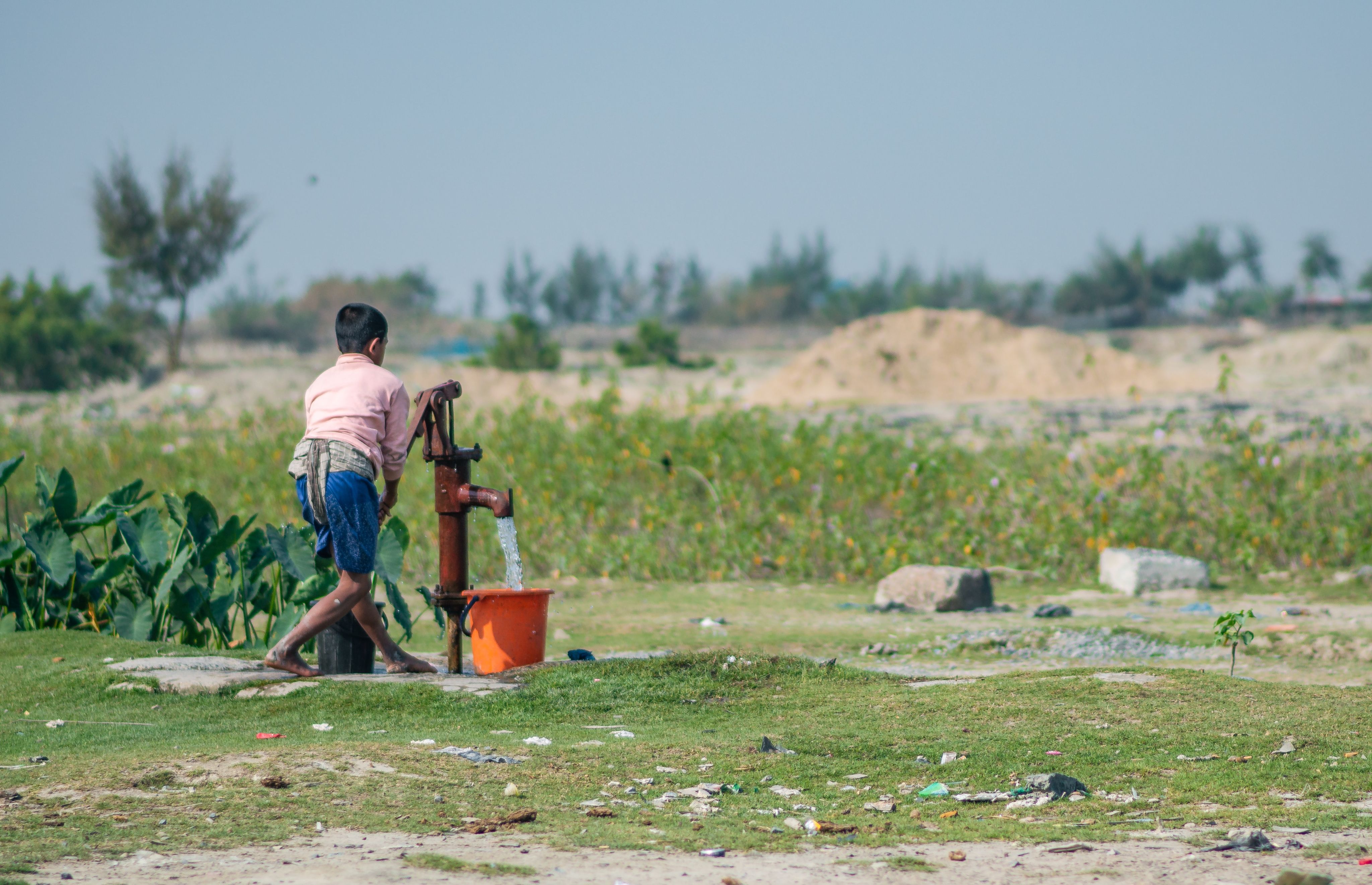
The Doabs are crucial in this context since the rivers are the major source for groundwater accumulation in Punjab, Pakistan. Moreover, depleting groundwater reserves results in two fatal issues for farming, erosion and worse water quality. Punjab, Pakistan relies heavily on agriculture for its income and shocks to this system could result in massive losses for the province, and the country.
Groundwater Comparison Over Time


Punjab, Pakistan
The maps below show how significant groundwater losses in Punjab, Pakistan have been. Even areas at the confluence of rivers i.e. Doabs, have suffered massive losses in groundwater levels. Notably, across the province, each Doab has a massive urban or rural district where water needs are often met with the use of borewells. For instance in the Chaj Doab, the district of Sargodha uses large quantities of water for the growth and consequent processing of oranges and other citruses.
The dataset suggests that the pre-2000 mean in Punjab, Pakistan was 6.212 across 13,755 locations. The post-2000 mean in Punjab, Pakistan was 3.498 across 24,695 locations. A decrease in average groundwater levels by more than 43%.
Punjab and Haryana, India
The picture in Northwest India is much more encouraging as, on average, groundwater levels have remained somewhat steady. The situation is particularly favorable in South Haryana where groundwater levels have been relatively similar in both Pre-2000 and Post-2000 periods.
The dataset suggests that the pre-2000 mean in Northwest India was 11.356 across 4,718 locations. The post-2000 mean in Northwest India was 11.271 across 15,531 locations. A decrease in average groundwater levels of less than 0.75%.
Institutional Differences
One of the key differences between Punjab, Pakistan and Northwest India is legislation regarding borewells and their construction. Both Haryana and Punjab, India require some level of approval from the State before the construction of borewells.
- The Haryana State Groundwater Management and Regulation Bill, 2008 makes specific provisions regarding the overdevelopment of groundwater and regulates the usage of borewells
- The deputy commissioners of all districts in Punjab, India, issued guidance where approval is necessary for the construction of borewells. Approval is required from the sub-divisional magistrate (SDM) or block development panchayat officer (BDPO) and district magistrate
Punjab, Pakistan has no legal requirements for the installation of borewells. The closest the province came to legislation was with the Punjab Municipal Water Act 2014 (Draft), which made specific efforts towards the regulation of borewells and protection of groundwater systems. It did not pass.
Dataset Citation
MacAllister, DJ., Krishan, G., Basharat, M., MacDonald, A.M. (2021). A century of groundwater accumulation in Pakistan and northwest India - dataset. NERC EDS National Geoscience Data Centre. (Dataset). https://doi.org/10.5285/150c95f7-18bf-4f66-880b-8364b7257b26